Delorme Atlas & Gazetteer: California
Book details
Summary
Description
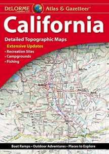
With an incredible wealth of detail, DeLorme's Atlas & Gazetteer is the perfect companion for exploring the California outdoors. Extensively indexed, full-color topographic maps provide information on everything from cities and towns to historic sites, scenic drives, trailheads, boat ramps and even prime fishing spots. • Great resource for trip planning and backcountry access. • Special features 2-page section on Yosemite National Park. • Map detail commonly includes: back roads, dirt roads and trails; elevation contours; remote lakes and streams; boat ramps; public lands for recreation; trailheads; campgrounds; and more. • GPS grids and tick marks. • Index of place names. • Maps provided for major cities as well as all state lands. Product Details: • Dimensions: 11"x 15.5" (paperback). • Scale 1:200,000 (1"=3.16 miles). • Contour interval: 300 feet. • 140 pages of maps, 160 pages in all. Available for all 50 States!


We would LOVE it if you could help us and other readers by reviewing the book

