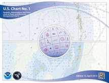
U.S. Chart No. 1: Symbols, Abbreviations and Terms used on Paper and Electronic Navigational Charts
Book details
Summary
Description
This edition of U.S. Chart No. 1 has a new name and a new look. It's title is nowSymbols, Abbreviations and Terms used on Paper and Electronic Navigational Charts. For the first time, U.S. Chart No. 1 presents both of the major symbology sets used for marine navigation. As in previous editions, the symbols used on paper nautical charts produced by NOAA and the NGA and digital raster representations of those charts, such as NOAA Raster Nautical Chart (NOAA RNC's), are presented in lettered sections organized in categories, such as Landmarks, Depths, and Lights. New in this edition is the inclusion of the corresponding symbols used to portray Electronic Navigational Chart (ENC) data on Electronic Chart Display and Information Systems (ECDIS) as specified by the International Hydrographic Organization (IHO).


We would LOVE it if you could help us and other readers by reviewing the book

