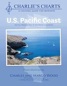
Charlie's Charts: U.S. Pacific Coast
Book details
Summary
Description
This cruising guide is a proven reference for safe navigation of the challenges for travel along the US Pacific Coast. It clearly describes the choices of routes for travel along the coast: harbor-hopping, inshore and offshore routes and discusses weather, crossing bars and safety issues. A safe approach to all major facilities is described and sketched in detail as well as the anchorages in the Channel Islands. Many cruisers have found the detailed information invaluable when approaching both planned stop-overs or when making an unexpected approach to the coast as a result of engine or equipment failure or a health emergency. Detailed drawings of marina facilities takes the worry out of approaching an unfamiliar marina especially if the crew is fatigued following a tiring spell at sea. GPS waypoints on each page are intended to assist a cruiser to locate offshore approach buoys and avoid reefs, points and capes by a safe margin. Waypoints are not given following the channel into marinas since channel markers are regularly moved to indicate the best water as a result of constant shoaling and scouring. This 6th edition is filled with QR codes, providing added information such as riverbar cameras, tide tables, weather cams, informational links to harbor websites and the like. The use of thse QR codes is not required to use the guide, but provide additional information to the cruiser when within cell phone coverage. The codes can be scanned by a smart phone or iPad.


We would LOVE it if you could help us and other readers by reviewing the book
Book review


