Kerry Way (3rd ed)
Book details
Summary
Description
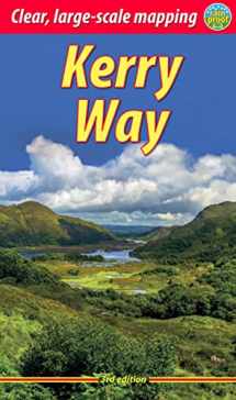
The Kerry Way runs for about 130 miles (210 km) through Irelands most spectacular mountain landscapes, starting and finishing in the town of Killarney. Dramatic peaks and glens, wild moorlands, lakes and windswept passes blend magnificently with extensive coastal panoramas. The complete walk takes about nine days, but it can easily be shortened. The third edition of our guidebook was fully revised in 2021 with updates to the route options and the step-by-step directions. It has customised mapping at 1:45,000, a better scale than the OSI Discovery maps, and it contains 100 colour photos, many of them new. This guidebook contains all you need to plan and enjoy the Kerry Way: the Way in sections, with summaries of distance, terrain and where to find food and drink; concise background on geology, scenery and wildlife; a special feature on Carrauntoohil, Irelands highest peak; planning information for travel by car, train, bus or plane; in full colour, with 103 photos; detailed mapping of the Kerry Way on 27 pages (1:45,000); printed on rainproof paper throughout.


We would LOVE it if you could help us and other readers by reviewing the book

