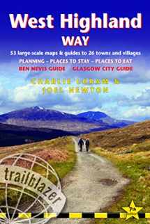
West Highland Way: British Walking Guide: planning, places to stay, places to eat; includes 53 large-scale walking maps
Book details
Summary
Description
The West Highland Way passes through some of the most spectacular scenery in all of Britain. From the outskirts of Glasgow it winds for 96 miles (154.5km) along the wooded banks of Loch Lomond, across the wilderness of Rannoch Moor, over the mountains above Glencoe to a dramatic finish passing Ben Nevis – Britain's highest mountain – into the centre of Fort William.
This all-in-one hiking route guide, maps and accommodations for the 96-mile West Highland Way, in Scotland. Includes 53 large-scale walking maps (3 1/8 inches to 1 mile); 4 town maps and 10 overview maps. Full details of all accommodations and campsites, restaurants and pubs; plus full public transport information. Includes day-walks.
- 4 town plans and 53 large-scale walking maps – at just under 1:20,000 – showing route times, places to stay, points of interest and much more
- Plus 10 overview maps
- Itineraries for all walkers – whether walking the route in its entirety over seven to eight days or sampling the highlights on day walks and short breaks
- Practical information for all budgets – camping, bunkhouses, hostels, B&Bs, pubs and hotels – where to stay, where to eat, what to see, plus detailed street plans
- Comprehensive public transport information – for all access points on the path.
- Flora and fauna – four page full color flower guide, plus an illustrated section on local wildlife
- Green hiking – understanding the local environment and minimizing our impact on it
- GPS waypoints. These are also downloadable from the Trailblazer website.
- Includes extra colour sections: 16pp colour introduction and 10pp of colour mapping for stage sections (one stage per page) with trail profiles.


We would LOVE it if you could help us and other readers by reviewing the book
Book review


