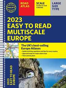
2023 Philip's Easy to Read Multiscale Road Atlas Europe: (A4 Spiral binding)
Book details
Summary
Description
Philip's: the UK's best-selling European Atlas range.
Perfect for driving in Europe, and including all the key driving regulations for each country, this Road Atlas is a practical A4 size with lie-flat spiral binding.
A new additon to Philip's Easy to Read Road Atlas range.
PHILIP'S: THE BEST-SELLING EUROPE ROAD ATLAS RANGE IN THE UK
Perfect for driving in Europe, and including all the key driving regulations for each country, this Road Atlas is a practical A4 size with lie-flat spiral binding.
A new addition to Philip's Easy to Read Road Atlas range.
'
The clearest and most detailed maps of Europe ' David Williams MBE, former CEO Gem Motoring Assist
'
The best of its kind with quick, easy-to-use information ' Fleet Week
Philip's 2023 Easy to Read Multiscale Road Atlas of Europe has:
- Large type and
easy to read mapping
- Multiscale mapping - more details where and when you need it
- Clear coverage of
every country in Europe
-
Driving regulations country-by-country on European roads and local roads
-
Super-clear main scale at 1:750,000 (12 miles to 1 inch)
- Three handy sets of
supplementary scales from 1:200,000 to 1:3M - perfect for easy navigation
- Large 23-page
route-planning section
- All the spectacular
scenic routes clearly highlighted
- Handy Distance Chart included
-
Practical A4 format and lie-flat spiral-binding - easy to use in the car
In fact, everything you need for your trip to Europe.


We would LOVE it if you could help us and other readers by reviewing the book

