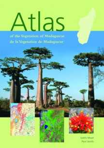
Atlas of the Vegetation of Madagascar
Book details
Summary
Description
Madagascar is the world’s fourth largest island, and is recognized as one of the world’s top ten hotspots for biodiversity. It is estimated that there are about 10,000 plant species on the island. Of these, 80 % or more occur nowhere else. Man arrived in Madagascar just 2,000 years ago and since has cleared much of the island’s forest. This impact and the uniqueness of its plants have made Madagascar of paramount importance to international conservation efforts.
This first vegetation atlas for Madagascar, supported by the Critical Ecosystem Partnership Fund, has combined vegetation data from fieldwork and satellite images into a map-based information system. The result is a conservation tool which will help Madagascar’s government and people to plan a more sustainable future. This atlas is also of great use to anyone studying or visiting the island.
Presented in both French and English, the atlas gives a brief history of vegetation mapping in Madagascar; the methodology used in compiling these new maps; and detailed descriptions of each vegetation type, illustrated with photographs and diagrams. Trends in deforestation, extent of occurrence and levels of protection are assessed for each vegetation type. Additional information includes roads, trails, rivers, airports, reserves and a full place name index.
The atlas comprises 36 maps in A3 format, all in high resolution colour.


We would LOVE it if you could help us and other readers by reviewing the book

