Sawtooth National Recreation Area Map (National Geographic Trails Illustrated Map, 870)
Book details
Summary
Description
• Waterproof • Tear-Resistant • Topographic Map
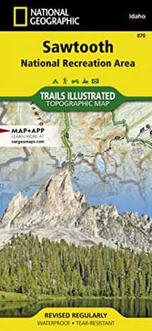
The Sawtooth National Recreation Area, located in the heart of central Idaho, boasts three Wilderness areas: the Sawtooth Wilderness, Cecil D. Andrus-White Clouds Wilderness, and Hemingway-Boulders Wilderness, three mountain ranges: Sawtooth Range, Boulder Mountains and White Cloud Peaks and portions of the Smoky and Pioneer Mountains. The headwaters of four major river systems originate in the NRA, including the Salmon River, which starts its four hundred-mile journey west from the Sawtooth Valley.
Over 300 high-alpine lakes, forty peaks rising over 10,000 feet, and hundreds of miles of trails in the Sawtooth NRA create countless opportunities for recreation including: cross country skiing and mountain biking near Galena Summit, boating on Redfish Lake, and floating the Salmon River.
With hundreds of miles of mapped trails this map can guide you off the beaten path and back again in some of the most breathtaking scenery in the region. Trail mileages, trail use and seasonal closures will assist in choosing the path that is right for you. Recreation features are clearly marked, including campgrounds, trailheads, whitewater access points, interpretive trails, boat launches, Nordic ski areas, and other points of interest. The map base includes contour lines, shaded relief, and elevations for summits, passes and many lakes.
Every Trails Illustrated map is printed on "Backcountry Tough" waterproof, tear-resistant paper. A full UTM grid is printed on the map to aid with GPS navigation. Map Scale = 1:75,000 Sheet Size = 25.5" x 37.75" Folded Size = 4.25" x 9.25"


We would LOVE it if you could help us and other readers by reviewing the book

