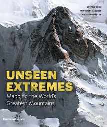
Mountains: Mapping the Earth's Extremes
Book details
Summary
Description
Awe-inspiring views of high peaks as they have never been seen before, using cutting-edge satellite technology
Mountains marks a new milestone in Earth observation and Alpine exploration. For the first time, a special recording process and a technique developed at the German Aerospace Center (DLR) allow the satellite recording of three-dimensional views from 300 miles above with a resolution in the range of a few meters. Photorealistic images are created in this manner from perspectives denied even to mountaineers and helicopter pilots.
In addition to highly accurate detailed models of individual regions, the DLR generates a global three-dimensional elevation model of Earth in unprecedented quality. For this purpose, two German satellites are currently circling the earth at a speed of more than 15,000 miles per hour―separated by a mere 500 feet. Taken together, both techniques offer a detailed view of a world that still pushes human beings to their limits―the mountainous regions of our planet. For this book Reinhold Messner has selected thirteen peaks and routes to feature, as they’ve never been seen before.
198 illustrations


We would LOVE it if you could help us and other readers by reviewing the book

